

![]()
PRESS RELEASE
FOR IMMEDIATE RELEASE January 30, 2025
CONTACT: Doug MacEachern
PHONE: 602.771.8507
ARIZONA GOVERNOR HOBBS PROPOSES ADDING OVER $60 MILLION TO DEFEND STATE’S WATER FUTURE
A breakdown of water-related investments included in the recently released Executive Budget proposal from Arizona Governor Katie Hobbs:
- $14.6M Deposit to WIFA Water Conservation Grant Fund
Governor Hobbs has now allocated $14.6 million to the Water Conservation Grant Fund to enable the Water Infrastructure Finance Authority (WIFA) to continue investing in generational water conservation projects.
Thanks to $200 million awarded by the State in federal funds allocated through the American Rescue Plan Act, WIFA has been able to fund conservation-focused projects across Arizona. To date, WIFA has funded over 150 water conservation projects. The Governor’s 2025 Executive Budget proposal includes investments in current and future water solutions, including WIFA’s funding for rural water supply development and long-term augmentation.
These critical resources will help ensure that rural areas can invest in the infrastructure they need to be water resilient, statewide efforts continue their investment in the infrastructure Arizona needs to find sustainable, renewable water supplies for the future. These investments speak directly to the mission of WIFA, which has been to augment and expand Arizona’s water supplies.
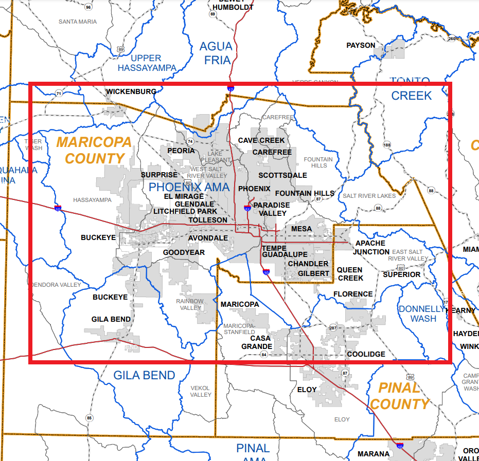
- $12M Grant for City of Buckeye Renewable Water Infrastructure
By enrolling in the new Alternative Designation of 100-year Assured Water Supply (ADAWS) Program, the City of Buckeye has committed to increasing the sustainability of its water resource portfolio, a major step forward toward creating sustainable growth. This allocation of $12 million will help Buckeye build infrastructure to reuse its effluent supplies and recover them from a hydrologically connected area; facilitating sustainable growth and increased use of renewable water supplies.
- $7M Statewide Groundwater Monitoring and Data Collection
These allocations will provide ADWR with much needed additional tools to ensure that Arizona’s groundwater resources are properly managed and protected. Governor Hobbs has invested $7 million to ADWR to install groundwater monitoring index wells throughout rural Arizona to observe declining groundwater levels and inform ongoing groundwater protection efforts. Without these index wells, ADWR hydrologists are less able to accurately assess the health of groundwater supplies in rural areas.
- $5.5M For ADWR Hydrogeologic Studies in Priority Groundwater Basins
To help rural communities understand and protect their groundwater supplies, ADWR hydrologists create groundwater models that help water managers and community leaders understand the conditions of their aquifers. This $5.5 million investment will allow ADWR hydrogeologists to collect key hydrogeologic information to build these critical models in groundwater basins experiencing severe water declines.
- $3.45M ADWR Leading Edge Satellite Water Monitoring Systems & Equipment
This investment with ADWR funds the acquisition and use of cutting-edge technologies including absolute gravity survey equipment to monitor aquifer conditions, funding for the Arizona Continuously Operating Reference Stations (AZCORS) Network that provides critical GPS data for scientists, engineers, and surveyors throughout Arizona. It provides funds for satellite monitoring of statewide water demand, and funding for ADWR contractual partnerships with the US Geological Survey (USGS) to collect key water use data.
###


